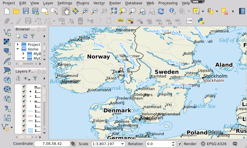
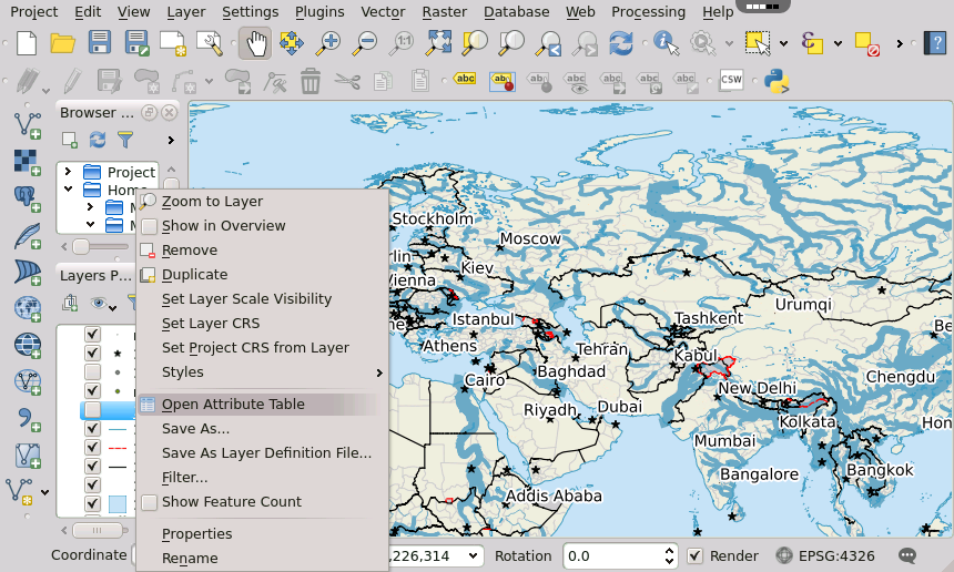
Screenshots

QGIS – Geographic Information System – provides a continuously growing number of capabilities provided by core functions and plugins. You can visualize, manage, edit, analyse data, and compose printable maps.
Features:
- view and overlay vector and raster data in different formats and projections without conversion to an internal or common format;
- compose maps and interactively explore spatial data with a friendly GUI;
- create, edit, manage and export vector and raster layers in several formats;
- support of various plugin to extend functionality;
- lots of other features for advanced users.
Related applications
Reviews for QGIS Login to add a review
-
14/12/22A good initial attempt! It needs regular 'LTS' updates and extras like the 'Grass' and 'Saga' Tools and the 'Oracle' connector to be included. If it could connect to MS 'SharePoint' including some integration it would solve a lot of issues. At the moment without these it's not viable, although OneDrive is a plus.
-
03/04/18it is innovative but not that efficent
-
29/01/18Good
-
22/11/16Not bad but alternatively
-
28/04/15Pretty amazing that it works in the browser. This looks like you're running a VM locally. Will come in handy for an occasional project.
-
28/04/15Excellent it is there, but a pity the GRASS plugin is missing. Most used by me, since it contains so many analytic tools..
-
28/04/15Good, very good!
-
22/04/15Very nice! But not very useful without coud storage media. You need storage to save your progress, to create a layer (point/line/polygon). Responsiveness is also an issue. Nevertheless this is a great experiment!